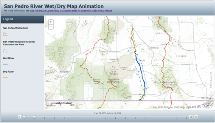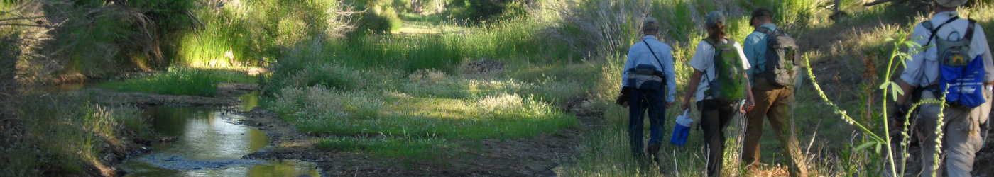
2020 Wet/Dry Maps Available
Since 1999, the Nature Conservancy has conducted the Wet/Dry Mapping Project giving volunteers the opportunity to monitor our rivers. Every June, participants in the program walk or ride horses along the San Pedro River to record where the streams have surface flow and where they are dry during the hottest, driest time of the year. Twenty years’ worth of data are now available as an online animation. See the results of the Wet/Dry Mapping Project from 1999 to 2019 on the approximately 50 miles of the San Pedro River that flows through the San Pedro Riparian National Conservation Area.