Wet/dry mapping of San Pedro completed, other projects in the works
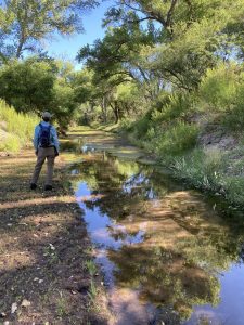
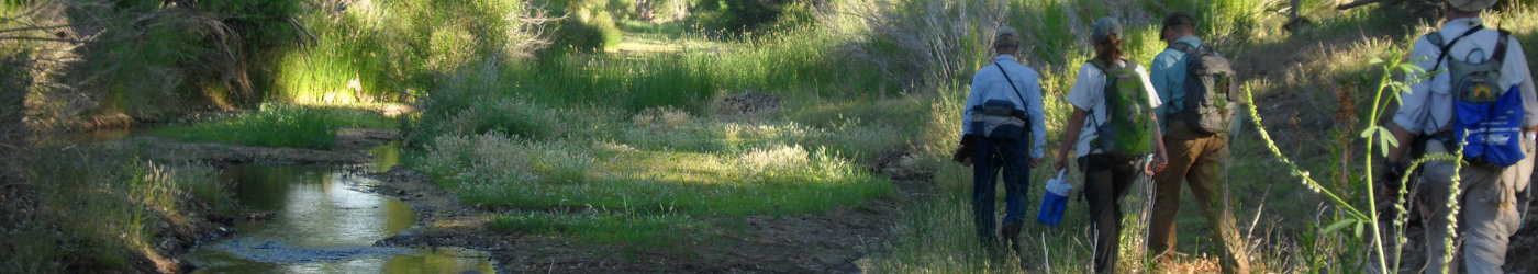
The Nature Conservancy and 50+ volunteers completed the 22nd annual wet/dry mapping of the San Pedro River, staggering the trips over a week to practice social distancing. The project was featured in a June 19 article in the Herald/Review. “We had to use smaller teams going out on different days,” said Holly Richter, TNC hydrologist. “The logistics got tough this year.”
Despite the challenges, volunteers got to see “a day in the life of the river” including hawks, ducks, and red spotted toads. Mapping during the driest time of the year provides a snapshot of the bleakest condition of surface flow. In general, the teams found more water in the river this year due to winter rains. It will take three to four months to compile all data and create the map, according to Richter.
In addition to CCRN’s completed projects, other projects in the works include Coyote Wash, Riverstone, and the Bisbee Effluent Project. One of CCRN’s goals is to open the recharge projects to the community, like the pathway around the Palominas Recharge Project. Another path is planned for the west side of Palominas Road for non-motorized recreation.
To find out more about the wet/dry mapping and other projects, read the complete Herald/Review article here.