The 21st annual San Pedro River mapping project was a success
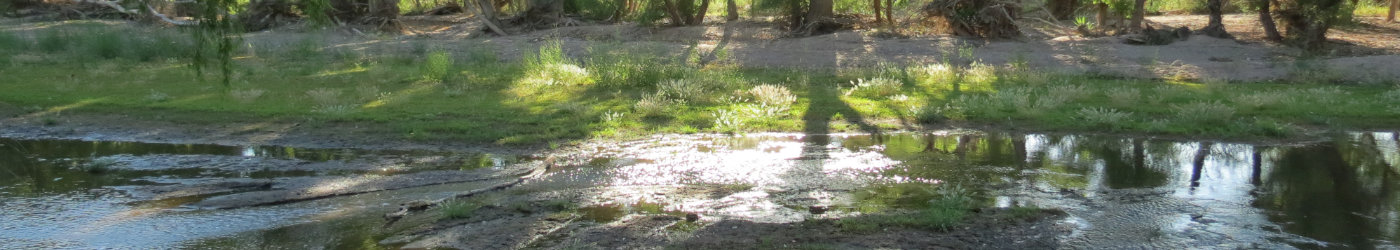
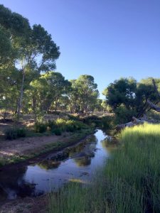
More than 100 volunteers turned out for the 21st annual wet/dry mapping project on the San Pedro River last month. This event, which is supported by The Nature Conservancy (TNC), involves teams of volunteers wading through the shallow water to record wet and dry sections of the river during the driest time of the year. The data is critical to the CCRN for planning projects and evaluating benefits.
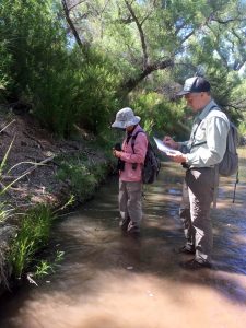
Recording of data is simple with handheld GPS units, and the wet and dry points are then mapped using GIS software. Now with 20 years of data, trends have emerged, including the improving trend near Palominas.
“The fact that over 100 people help map hundreds of miles of the river and its tributaries, when it’s the hottest, driest time to be out there year after year, attests to how much people along the river care about it,” Holly Richter, TNC hydrologist and CCRN member, said. “It’s really heartening to see what can be done when many different communities come together toward a common purpose.”
Read more about the annual San Pedro River mapping event on the Herald/Review webpage. See the results of past wet/dry mapping at the Center for Science and Public Policy here.